Slope
Slope Values
A slope value indicates how steep an area is. Flat areas such as the bottoms of valleys, bodies of water, and swamps will have low values while rugged, mountainous terrain will have higher values.
Slope can be computed as either percent or degrees
Percent Slope = Change in elevation / Distance. This is also known as "rise over run".
Degrees = angle of the slope from a line that is parallel with the earth.
Move the circular handle on the incline below to see how slope values in percent and degrees are related. Notice what happens to the percent slope as the slope increases.
| Original | Percent | Degrees |
|---|---|---|
Note that when the percent slope value gets very large, the computer can no longer represent the number and displays "infinity".
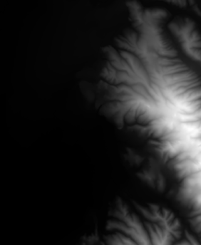
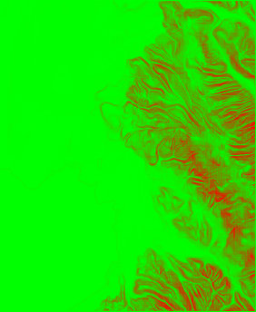
Slope Rasters
One of the important data types for topographic analysis is a "Slope Raster". Pixels in these rasters containv alues represneints how steep (i.e. the slope) the area around the pixel is.
Typically, slope is computed using a 3 x 3 matrix of pixels around the target pixel. A plane is fit through these pixels and then the maximum slope of the plane is used as the slope value.
Move your mouse around the DEM below to see the 3 x 3 matrix and the corresponding slope value on the right.
30 meter per pixel raster with elevations in meters